Imaging & Integrated Interpretation of Gravity, Gravity Gradiometry, Magnetic, Seismic & Geologic Data

LINEAMENTS DETECTION


The term ‘lineament’ used here is referring to linear or curvilinear features that are displayed by gravity and magnetic data. From geological point of view, these lineaments are usually attributed to structural discontinuities such as fractures, faults, shear zones, or lithological boundaries between stratigraphic formations. Lineaments play an important role in oil and gas exploration and also in planning drilling programs because they provide pathways for fluid flow and thus enhance rocks permeability. It is well documented that many economically significant petroleum reservoirs form in fractured rocks. Therefore, mapping their density, distribution and orientations in shale reservoirs, for example, helps in locating ‘sweet spots’ and this could lead to a successful drilling program and reduce risks.
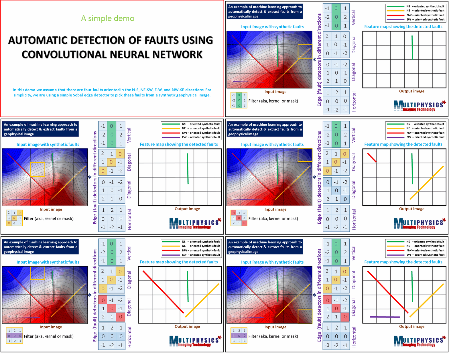
Traditionally, lineament detection and mapping in gravity and magnetic data is carried out by visual inspection of a set of enhanced and filtered derivatives and gradient maps. Going through these maps thoroughly can be a very tedious and expensive operation. Besides, the results are biased by the interpreter. For this reason at Multiphysics Imaging Technology we use automated lineament detection techniques. Our automated techniques are more efficient, much faster, cost-effective, repeatable and less subjective than the traditional manual approach. Besides derivative and gradient enhanced images, we use more advanced lineament detection techniques that are able to detect subtle lineaments that were beyond the detection limits of derivative and gradient based techniques.
Our lineament detection approach uses a combined set of the following techniques:
- Derivative based filters (first and second vertical derivatives).
- Gradient based filters (Laplacian, SDGD, DoG, LoG, Canny, Roberts, Prewit, Sobel).
- Analytic signal, tilt angle, slope and aspect filters.
- Steerable filters.
- 2D/3D Hessian based vesselness filters.
- Monogenic Signal decomposition.
- Monogenic phase congruency.
- Wavelet analysis.
- Gabor filtering (Magnitude and phase).
- Anisotropic diffusion filters.
- Shock filters.
- Second derivative in the direction of the gradient (SDGD) filter.
- Curvature analysis.


