Imaging & Integrated Interpretation of Gravity, Gravity Gradiometry, Magnetic, Seismic & Geologic Data
INTEGRATED INTERPRETATION


With decades of accumulated experience in integrated interpretation of gravity, gravity gradiometry, magnetic, seismic and geologic
data over sedimentary basins all over the world, Multiphysics Imaging Technology is confident to deliver the best interpretation results to its clients.
Our Interpretation workflow involves the following steps:
- Data QC to make sure the data is leveled and free of any acquisition or cultural noise.
- Select a set of suitable filtering and image enhancement techniques for the provided data.
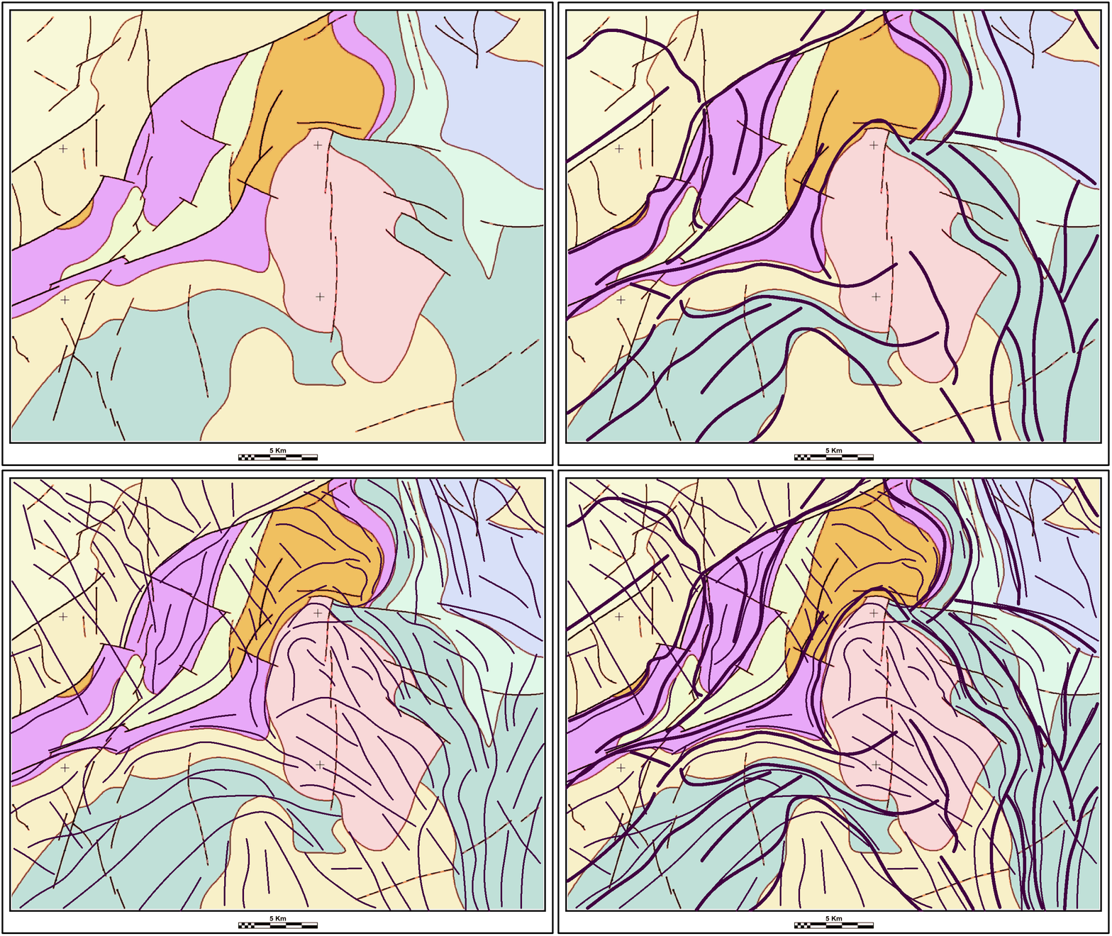
- Map faults and fractures (lineaments) from shallow and deep sources.
- Qualitative estimation of depth to magnetic basement using:
- 2D Werner inversion.
- 2D/3D Euler deconvolution.
- 2D/3D forward modeling and inversion of gravity and magnetic data.
- Wavelet analysis.
- Gabor filtering (Magnitude and phase).
- Anisotropic diffusion filtering.
- Image fusion.
- 2D/3D structure tensor and anisotropy estimation.
- Eigen (spectral) decomposition.
- Haralick GLCM texture analysis.
- Shock filter.
- Curvature analysis.
Afterward, we integrate the results obtained through the steps described above with other available data for the area of interest such as seismic, geology, well data, EM, and remote sensing data to perform the final stage of interpretation. An interpretation report (PDF, PPT or both) will be submitted with the final results.


